River Discharge
in the Field
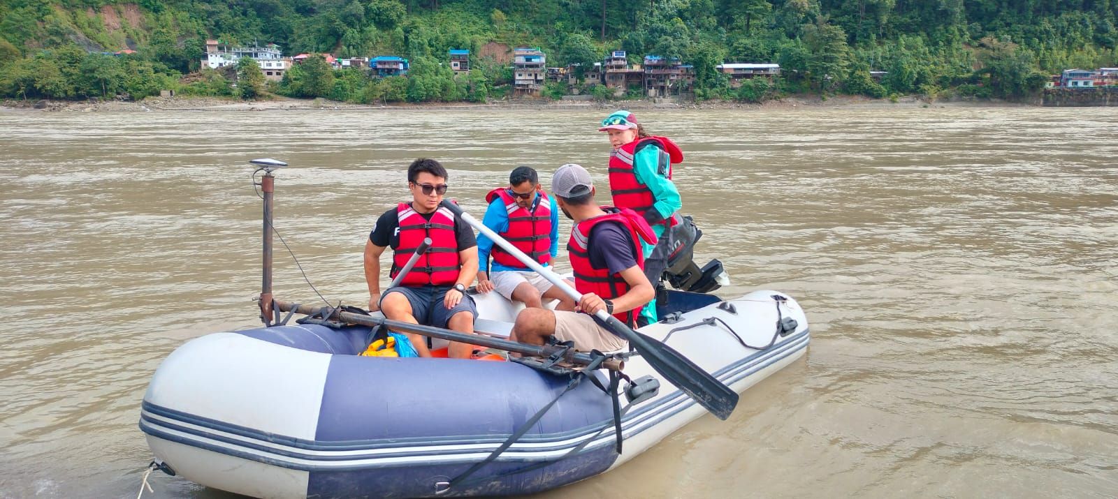
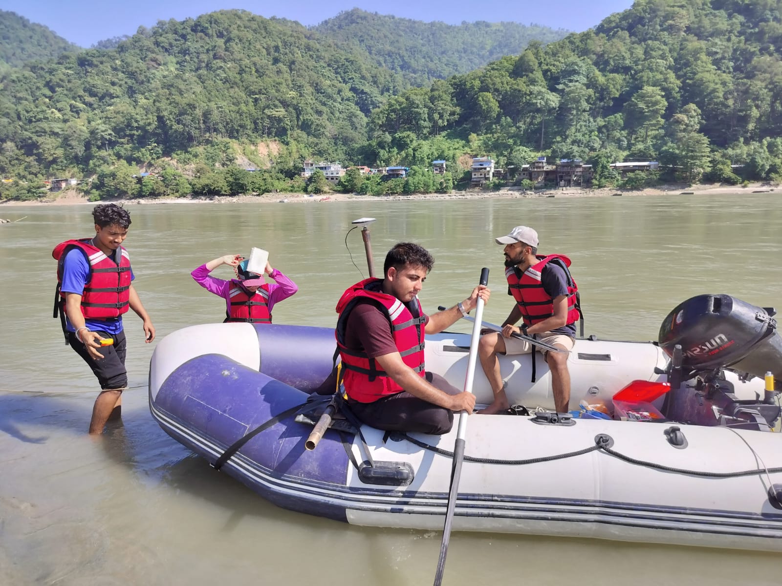
ADCP-based field surveys across 7 major Nepal–India transboundary rivers — generating ground-truth discharge data to calibrate NASA's SWOT satellite mission.

Why this field work matters
SWOT Needs Field Data
NASA's SWOT satellite measures river width and surface elevation from orbit — but converting those readings into discharge requires prior in-situ field estimates. This project provides that critical calibration link.
Transboundary Significance
Nepal's rivers sustain hundreds of millions of people across South Asia. Reliable discharge measurements underpin cross-border water agreements, hydropower planning, and flood early-warning systems.
Long-Term Monitoring
Field-calibrated SWOT data enables continuous hydrological monitoring at basin scale — tracking seasonal variability, multi-year discharge trends, and the fingerprint of climate change on river systems.
How discharge
is measured
ADCP Deployment
Acoustic Doppler Current Profiler mounted on inflatable boats, traversed across the river. Acoustic pulses measure velocity at multiple depths simultaneously to build a full flow field.
GNSS Positioning
High-precision GNSS tracks the boat path and water surface elevation in real time — delivering accurate cross-section geometry essential for discharge integration.
Python Processing
Post-processing scripts handle cross-section interpolation, depth-averaged velocity, and discharge calculation using WMO hydrometric standards.
From the river bank

See more from the field
Full photo documentation from all river survey campaigns is in the gallery.